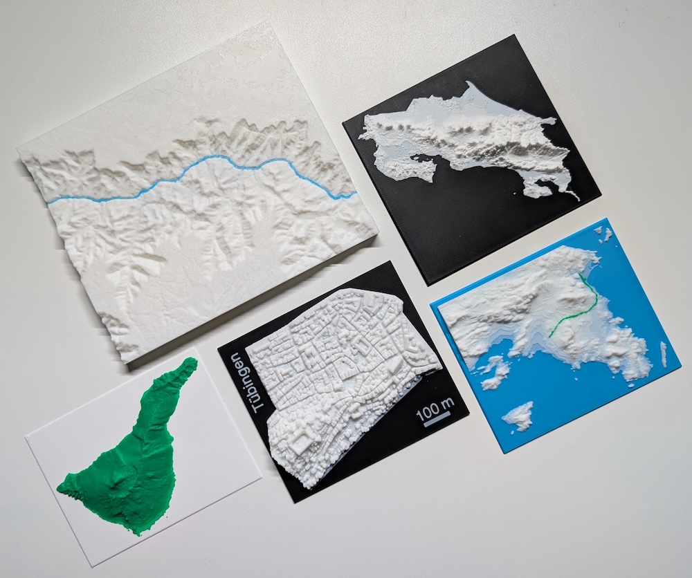
Digital elevation model to 3D-Model presentation at NIAM2026
We were at the NIAM2026 conference on 15. January in Berlin. Jonathan presented a small side quest of our work: a Python workflow to download a Digital Elevation Model (DEM) from Copernicus and then convert it into a model for 3D-printing.
The original idea for this project came from our collaboration in the GC-ADAPT project in which the effect of climate change and variability on bacterial infectious disease is studied. The regional focus of the project is Costa Rica which is quite diverse regarding topography and climate. Situated between the Pacific Ocean as well as the Caribbean Sea, the highest mountain is the volcano Irazú at 3432 m in the middle of the country (from where you are able to actually see both bodies of water!).
During one of our meetings we were looking at a lot of 2D maps of Costa Rica, and the obvious idea came up: a 3D model of the topography to get a better appreciation for the heights inside the country.
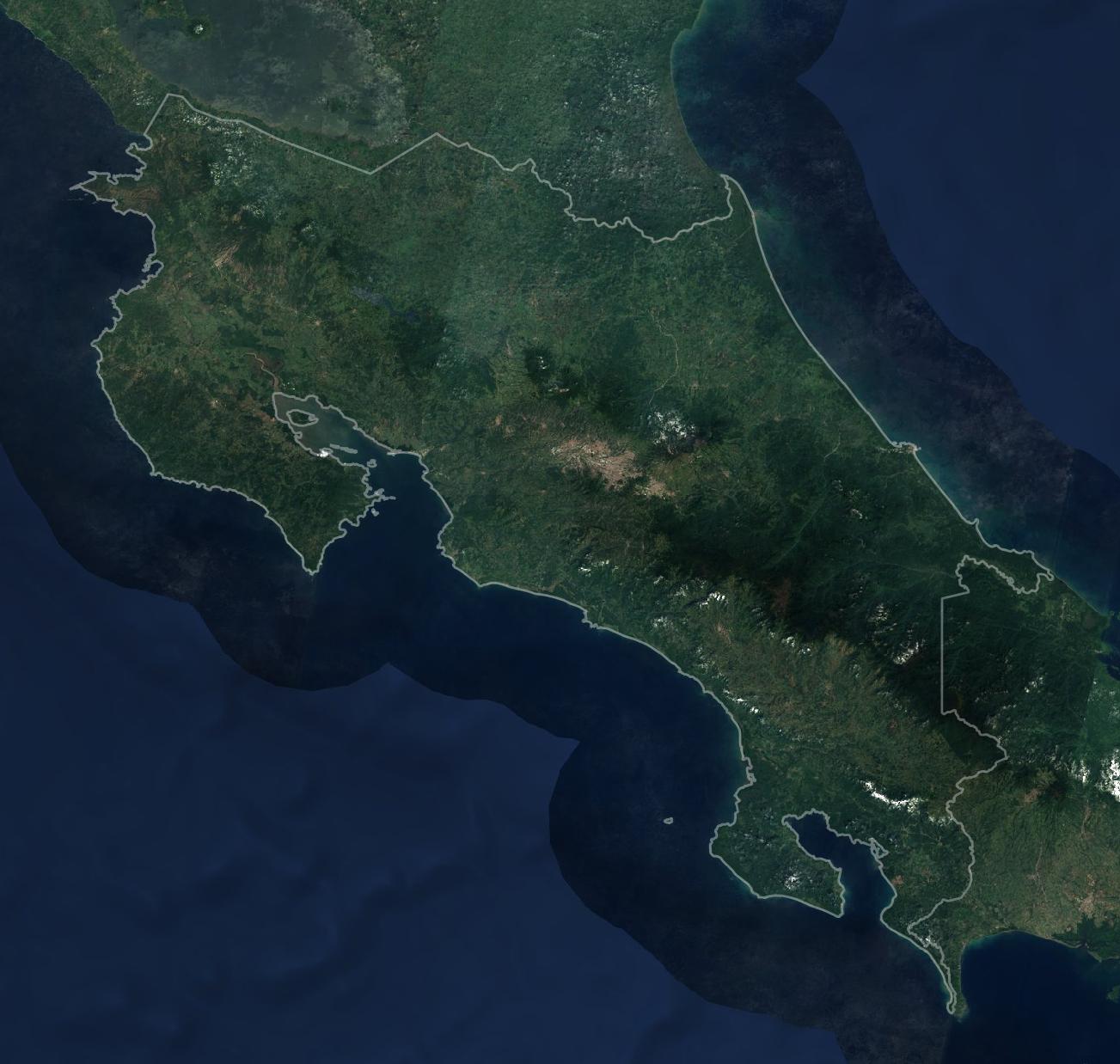
Source: Sentinel-2 cloudless - https://s2maps.eu by EOX IT Services GmbH (Contains modified Copernicus Sentinel data 2016 & 2017), CC-BY-4.0
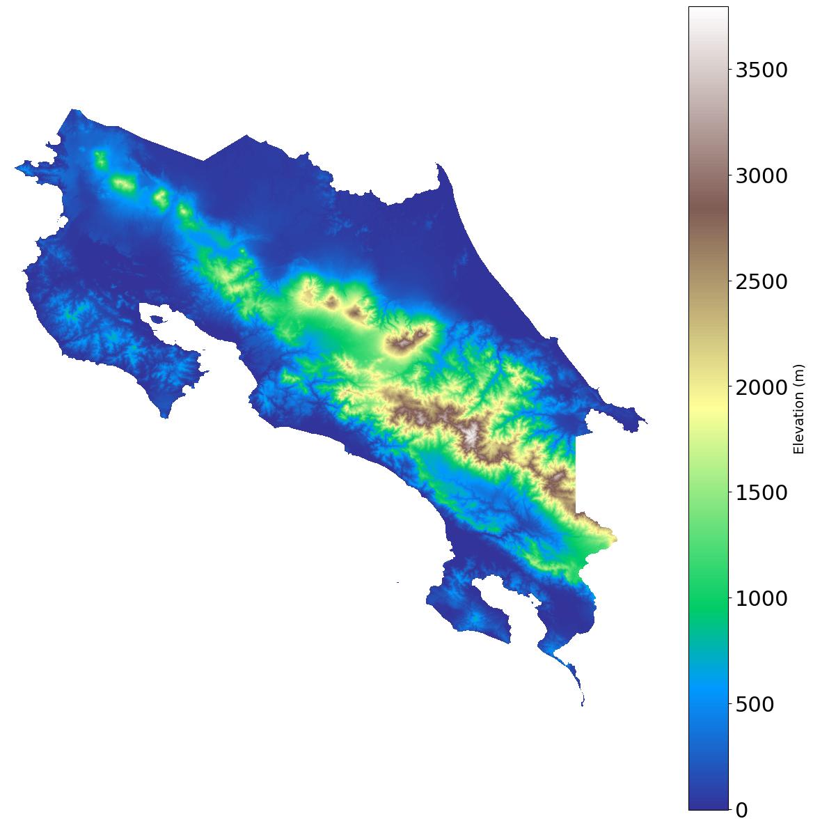
based on Copernicus DEM (GLO-90)
After a little (…or a lot) of research and experimenting this 3D model of Costa Rica now supports our meetings:
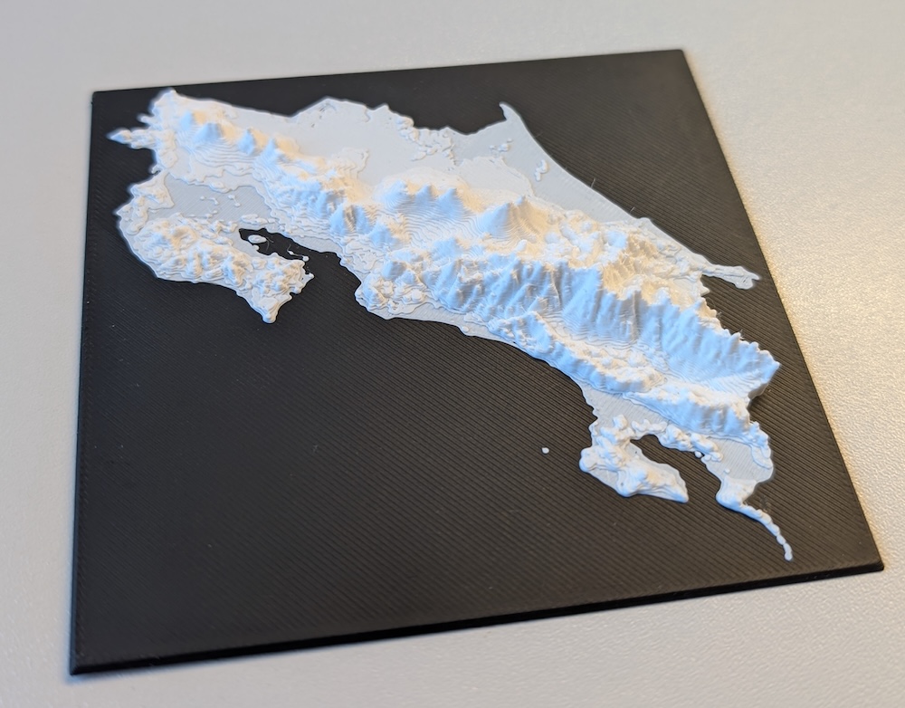
The process for creating this model consisted of the following steps, which can be applied
- Downloading a DEM for a specific region of the world.
- Processing the DEM (or any GeoTIFF matrix, actually) into an 3D model.
- Allow for adding a separate "base" model under the terrain, for easy switching of colors for the different parts.
The source code, more examples and documentation of the workflow is available as open source here: https://codeberg.org/stroebjo/dem-to-stl/.